FICTION

Mapping and Navigation: Explore the History and Science of Finding Your Way

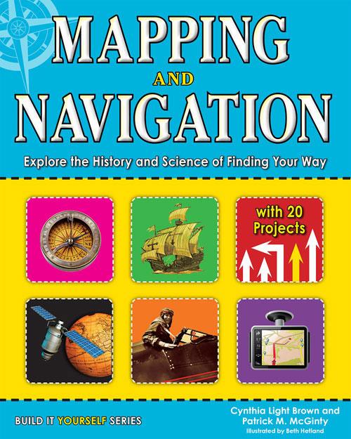
BROWN, Cynthia Light & . illus. by Beth Hetland. 122p. (Build It Yourself Series). chron. diag. further reading. glossary. index. maps. websites. Nomad. 2013. Tr $21.95. ISBN 9781619301948; pap. $16.95. ISBN 9781619301986.
COPY ISBN
Gr 4–7—This overview covers the history of mapmaking and navigational techniques and shows the connections between the past and the present. Many pages contain information about modern inventions and tools, such as Geographic Information Systems (GIS), Global Positioning Systems (GPS), and Google Earth. Approximately 20 activities are provided, including how to replicate ancient sundials and compasses. Informational sidebars and "Words2Know" appear on most pages; terms are also defined in the glossary. Despite these features, students will not find this book easy to use or particularly appealing. The maps, diagrams, and illustrations are all done in gray scale and often do not assist with better understanding. Students without a background in geography will find the content complex. The book has many good ideas for teachers to implement, but it will have limited independent use by youngsters.—Caroline Geck, Camden Street School Library, Newark, NJ

Be the first reader to comment.

Comment Policy:
  • Be respectful, and do not attack the author, people mentioned in the article, or other commenters. Take on the idea, not the messenger.
  • Don't use obscene, profane, or vulgar language.
  • Stay on point. Comments that stray from the topic at hand may be deleted.
  • Comments may be republished in print, online, or other forms of media.
  • If you see something objectionable, please let us know. Once a comment has been flagged, a staff member will investigate.


RELATED 

ALREADY A SUBSCRIBER?

We are currently offering this content for free. Sign up now to activate your personal profile, where you can save articles for future viewing

ALREADY A SUBSCRIBER?